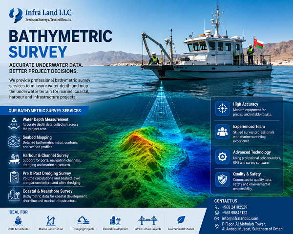
Bathymetric Survey Services in Oman
Accurate Underwater Mapping for Marine & Coastal Projects
Infra Land LLC provides professional Bathymetric Survey Services in Oman, supporting marine, coastal, infrastructure, engineering, and development projects with accurate underwater depth and seabed information.
Bathymetric surveying is an important part of planning and managing projects involving seas, harbours, coastal areas, channels, reservoirs, and other water bodies. Our survey approach focuses on providing reliable field data that engineers and project teams can use for design, analysis, construction, and monitoring.
A Bathymetric Survey measures the depth and underwater characteristics of a water body to determine the shape and elevation of the seabed or submerged ground.