
01
Our Mission
To deliver professional, ethical and innovative surveying solutions that satisfy client requirements through continuous improvement of our people, technical expertise and resources.


Infra Land LLC is a professional surveying and land development company based in Muscat, Sultanate of Oman. Since 2008, we have delivered comprehensive surveying services for building, transportation, oil and gas, environmental, infrastructure and utility projects.
Our clients include government authorities, architects, engineering consultants, civil engineers, contractors and developers. We combine qualified professionals, modern survey technology and systematic quality procedures to provide accurate, reliable and cost-effective project information.
Year Established
Topographic Surveys
Nationwide Coverage
Survey Technology
Our work is guided by professional integrity, technical excellence, continuous improvement and a commitment to client success.
To deliver professional, ethical and innovative surveying solutions that satisfy client requirements through continuous improvement of our people, technical expertise and resources.
To be recognized as a dependable surveying and land development partner in Oman, known for accuracy, quality, safety and technology-driven project delivery.
To provide clients with accurate survey data, responsive technical support and reliable deliverables that support better planning, construction and development decisions.
Our values influence how we work, how we serve our clients and how we contribute to responsible development across Oman.
Precise field measurements and dependable technical information for confident decisions.
Ethical, transparent and professional conduct in every client relationship.
Modern surveying systems and digital workflows that improve accuracy and efficiency.
Responsive service and solutions adapted to the requirements of each project.
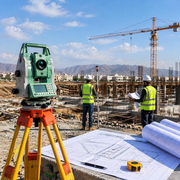
Detailed terrain mapping, contours, elevations and existing site features.
→Accurate survey support for residential, commercial and industrial development.
→Construction control, setting out, monitoring and technical project measurements.
→Geographic data collection, digital mapping, analysis and database development.
→Accurate floor plans, elevations, sections and existing building documentation.
→High-definition data capture for buildings, facilities and complex structures.
→
We use professional surveying equipment and digital software to collect, process and deliver accurate project information.
Survey work is conducted through systematic, planned and cost-effective procedures designed to meet client requirements.
We promote safe working conditions and procedures that protect employees, clients and the general public.
We recognize the environmental impact of our operations and remain committed to continuous improvement and pollution prevention.
We support fair and lawful treatment of employees, clients and every person associated with our organization.
Contact our surveying team for reliable technical support and a solution tailored to your project requirements.

